
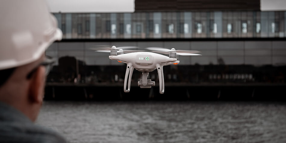
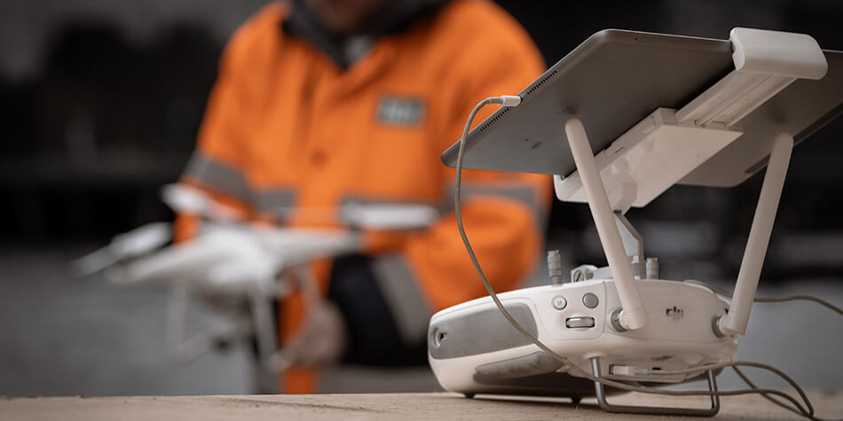
Drones
With drone surveying, you save time because large amounts of data are collected in a short amount of time.
You get razor-sharp and purposeful photos of e.g. construction sites, construction projects, agriculture and gravel pits that provide a fantastic overview and can be easily and quickly updated.
The images can also be used to generate terrain models for use in quantity calculations. An easy way to get an overview of the soil conditions.

PETER STARUP
Senior CAD Konsulent
pst@hlm.as
+45 31 33 05 18

Thomas Therkildsen
CAD konsulent
tbt@hlm.as
+45 23 69 90 93